Outputs
Technology
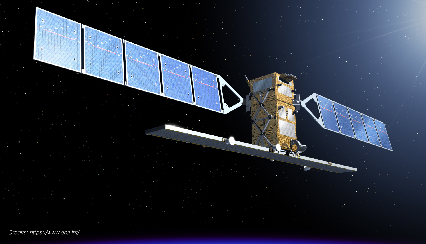
Satellites provide useful information about agricultural crops by taking images from space. Conventional satellites take optical images (photographs) which provide data about biomass and plant stress, and which serve for forecasting the yield. These satellites face a challenge: optical data can be obstructed by clouds, preventing data collection.
The main challenge with Conventional Satellites
This challenge is particularly acute in Colombia, where sugar cane is grown all year round and cloud cover is particularly heavy depending on the season. To overcome this limitation, the DINOSAR project plan to develop a technology incorporating images taken by radar satellites, which are not affected by clouds and provide complementary information to the optical images related to crop structure and water contents.
The DINOSAR Project: Innovating Crop Monitoring
This project will design a methodology to combine all the information sources as optical and radar data from Copernicus satellites, as well as crop measurements and weather data to improve sugarcane cultivation conditions in Colombia.
Our approach includes each source’s type of information, models used to translate image data into physical crop variables and the associated uncertainty degree to properly combine all of them.
During the last project year, the consortium will investigate the feasibility of extending the application of its algorithm to other crops facing the same issues (maize, wheat, barley, sugar beet and potato). We will be looking for collaborations with other projects conducting crop measurements and relate them to the spatial extent of satellite data.
