Diagnostic that Integrates Optical, infrared and Synthetic Aperture Radar data
DINOSAR is a three-year EU-funded project aiming to develop the Copernicus based algorithms to support smart farming applications that can be used worldwide, even on cloudy areas.
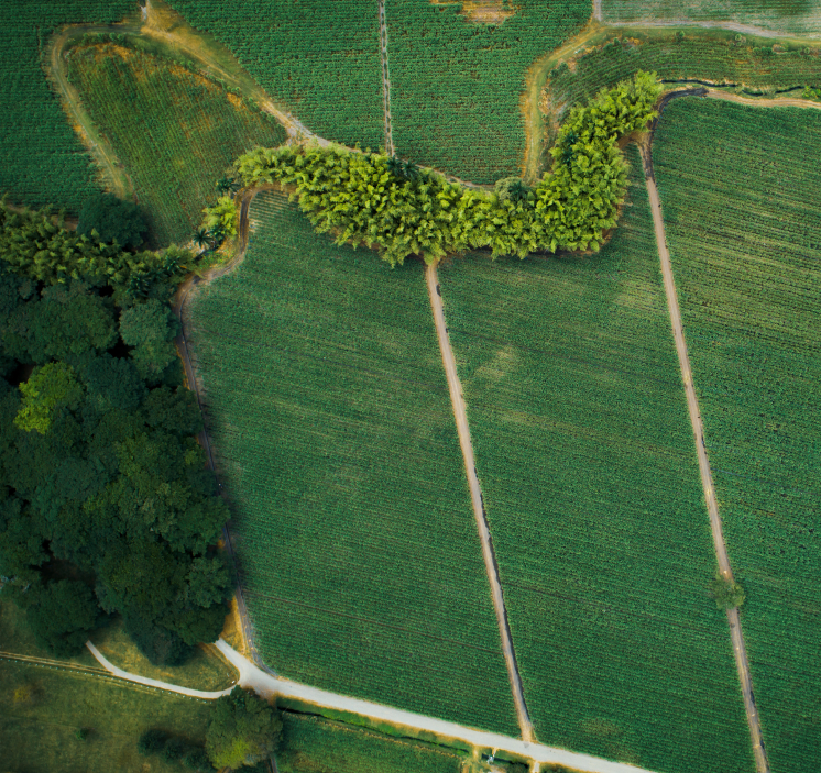
With the Earth Observation based services, our project will support farmers to match agricultural inputs (fertilisers, pesticides, water) to what the crop needs, decreasing their environmental footprint. To develop this technology, we will focus on one specific case-study: the sugarcane crops in Colombia.
About DINOSAR

Consortium
6 partners
4 countries

Duration
3 years

Start-End Date
01.01.2024
31.12.2026

Budget
1.5 millions €

Our technology
The DINOSAR project will set up an innovative technology based on complementary data that will enable a complete algorithm for agricultural monitoring. The research methodology will be based on the integration of satellite imagery (Copernicus) of sugarcane fields, meteorological data and field measurements of crops.
Impacts
While developing algorithms helping smart farming application, within its duration, the DINOSAR project will tackle several challenges.

Our latest news
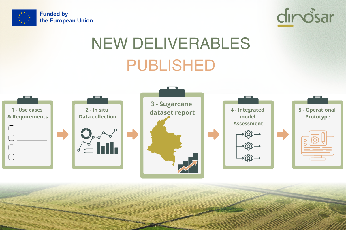
DINOSAR publishes 6 new deliverables
The DINOSAR project is pleased to announce the publication of six new deliverables, marking significant progress in user-driven service design, in-situ data collection, and integrated model development for sugarcane monitoring... View Article
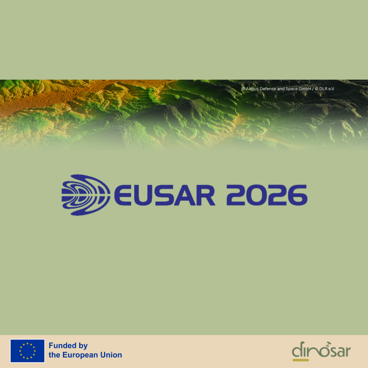
DINOSAR at European Conference on Synthetic Aperture Radar (EUSAR) 2026
We are pleased to announce that the DINOSAR project will be represented at EUSAR 2026, taking place in Baden-Baden, Germany, from 8–11 June 2026. Our partner, the University of Alicante,... View Article
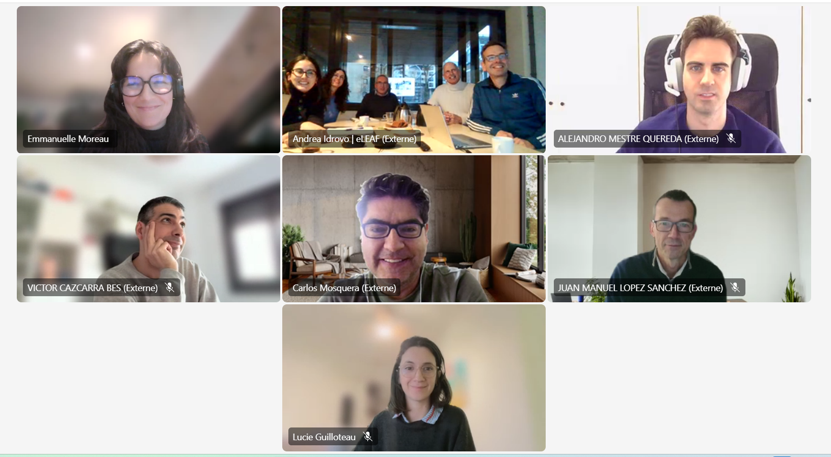
DINOSAR Annual Partners Meeting: advancing technical development and future planning
As DINOSAR enters its third and final year, all project partners gathered, on 27 January 2026, for the Annual Partners Meeting, held in a hybrid format. Half of the consortium... View Article