Events
SAR–Optical Integration for Reliable Crop Monitoring: Lessons from the DINOSAR Project
Integration of Optical and Radar Satellite Data for Quantitative Biomass Estimation in Sugarcane: The DINOSAR Approach
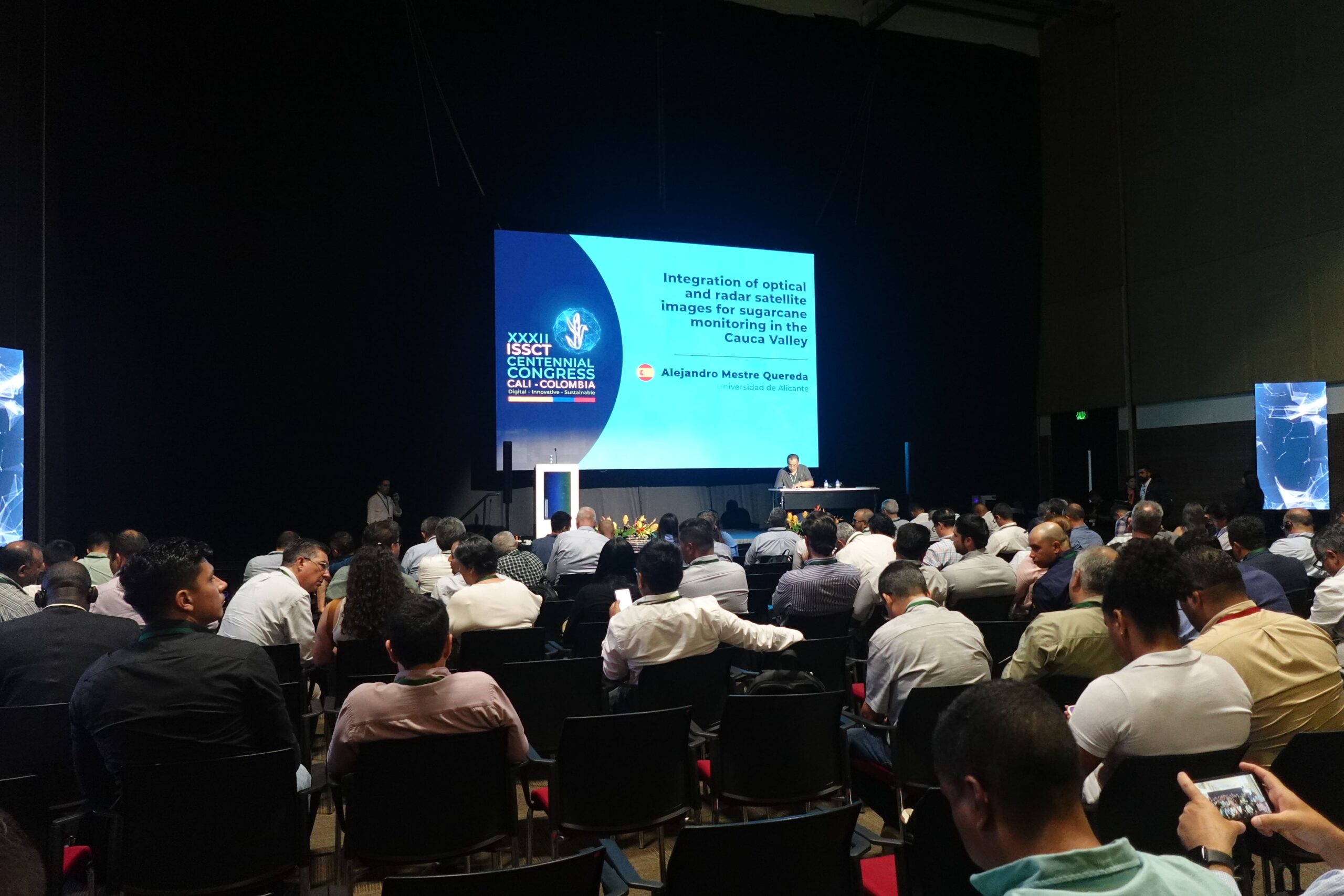
At the XXXII ISSCT Congress (Cali, August 2025), Alejandro Mestre Quereda from the University of Alicante introduced a novel methodology that integrates Earth Observation data with dynamic crop modeling to improve sugarcane monitoring. Funded by the European Commission, the project addresses the limitations of conventional approaches based mainly on vegetation indices, moving instead toward quantitative estimation of biophysical variables, with a particular focus on above-ground biomass.
The methodology leverages multi-source remote sensing data:
- Sentinel-1 (SAR, C-band): resilient to cloud cover, providing structural information on canopy and stalk development.
- Sentinel-2 (multispectral optical): rich spectral information, essential for physiological characterization.
These satellite observations are complemented by an extensive field campaign conducted over one year in the Cauca Valley. Weekly measurements were collected from 34 fields and 70 sampling points, covering biomass, plant height, stem diameter, and leaf/stem weight. After a rigorous quality control process, data were formatted for DINOSAR and uploaded to the FieldLook platform for visualization and analysis.
The modeling framework is based on a state-space approach, consisting of two main components:
- an evolution model (dynamical systems theory), simulating the temporal growth of crop variables as a function of previous states and expected trajectories;
- an observation model, linking remote sensing inputs to field-measured variables. At this stage, a Random Forest Regression scheme has been implemented, using SAR/optical imagery and day-of-season (DoS) as predictors.
Both models are combined through a Kalman filter, which ensures optimal estimates by merging predictions with available satellite observations. The system can operate under different scenarios: prediction-only (no satellite data available), SAR-only, optical-only, or full SAR + optical integration.
Results clearly demonstrate the superiority of the integrated approach. While stand-alone models or partial integrations suffer from cloud contamination (optical-only) or reduced sensitivity to physiological traits (SAR-only), the complete integration of SAR and optical data significantly reduces RMSE and MAE in biomass estimation, validated through 100 iterations of cross-validation with independent ground-truth points.
This research highlights the potential of multi-sensor data fusion for precision agriculture, offering actionable biomass estimates at weekly scales. Future work will replace current empirical observation models with physically-based SAR and optical models, enabling improved accuracy, greater generalization, and operational deployment across diverse sugarcane-growing regions.


Explore more events about DINOSAR
DINOSAR at European Conference on Synthetic Aperture Radar (EUSAR) 2026
We are pleased to announce that the DINOSAR project will be represented at EUSAR 2026, taking place in Baden-Baden, Germany, from 8–11 June 2026. Our partner, the University of Alicante,... View Article

DINOSAR presented at the EuroGEO Workshop 2025 🚀
On 13 October 2025, our partners Corné van der Sande, Andrea Idrovo, and Mark Noort from eLEAF and HCP International had the opportunity to present a poster about the DINOSAR... View Article
A look back at DINOSAR’s trip to Cali, Colombia in August 2025
In late August, the DINOSAR team crossed the Atlantic for a special mission in Cali, Colombia. On August 22, most of the project partners reunited on site, warmly welcomed by... View Article