News
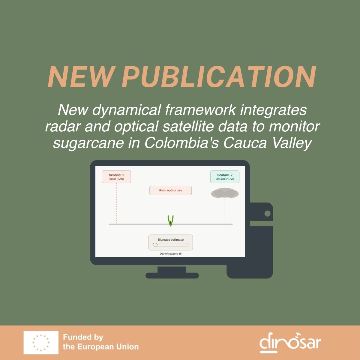
New dynamical framework integrates radar and optical satellite data to monitor sugarcane in Colombia’s Cauca Valley
DINOSAR is proud to announce the publication of its first scientific paper, led by the University of Alicante, with support from eLEAF, SarVision, and AgroAp. Published in the IEEE Journal of Selected Topics in Applied Earth Observations and Remote Sensing (JSTARS), the work presents a novel method for continuously estimating sugarcane biomass throughout the growing season.
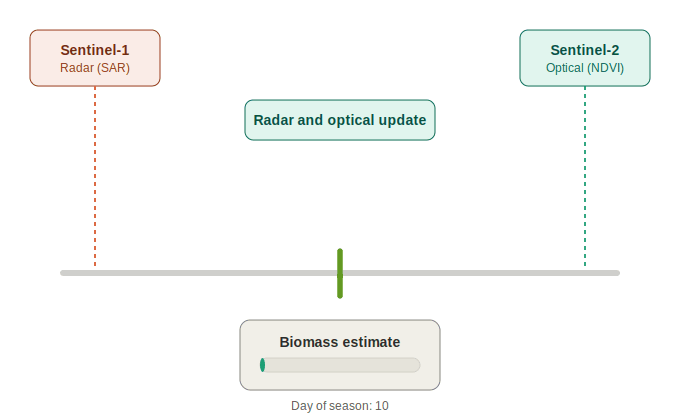
The challenge is concrete: in Colombia’s Cauca Valley, a major sugarcane-growing region with around 237,000 hectares under cultivation, persistent cloud cover makes only about 20% of Sentinel-2 optical images usable. Yet optical imagery is normally the most sensitive to vegetation condition. The proposed solution combines two types of satellite observations: radar (SAR) data from Sentinel-1, which can be acquired regardless of weather, and optical data (NDVI) from Sentinel-2.
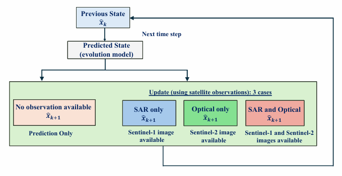
At the core of the method is a Kalman filter, which combines two components: an evolution model, based on transition matrices derived from field data to describe how biomass naturally evolves week by week, and an observation model, based on Random Forest regression, which links satellite signals (SAR backscatter and coherence at VV/VH polarizations, NDVI) to actual biomass. Depending on which images are available in a given week, the model updates its estimate using SAR alone, optical alone, both combined, or neither.
To validate the approach, an intensive field campaign was carried out between July 2024 and August 2025, covering 70 measurement points across 34 fields with different soil types, sugarcane varieties, and ratoon ages.
The results are very promising: the fully integrated approach achieves an average error of just 103 grams (RMSE) and 64 grams (MAE) for plants producing between 1 and 3 kg of biomass, a clear improvement over methods relying solely on radar, solely on optical data, or purely machine-learning approaches. The study also confirms that radar is essential: even on its own (without optical data), it outperforms NDVI-only estimates in this cloud-prone region.
This work demonstrates that a dynamical approach, combining temporal modeling with multi-sensor fusion, offers a robust and adaptable framework for operational crop monitoring, particularly in regions where optical observation is limited by weather conditions. Find the article on our Zenodo page
Continuous sugarcane biomass tracking in Colombia’s Cauca Valley
Read more news about DINOSAR
DINOSAR roadmap: Testing our integrated biomass algorithm for key crops in Central Ukraine
DINOSAR has developed an integrated algorithm to estimate biomass. It combines optical and radar satellite-based modeled biomass estimated with an evolutionary model based on field measurements. A Kalman filter decides... View Article
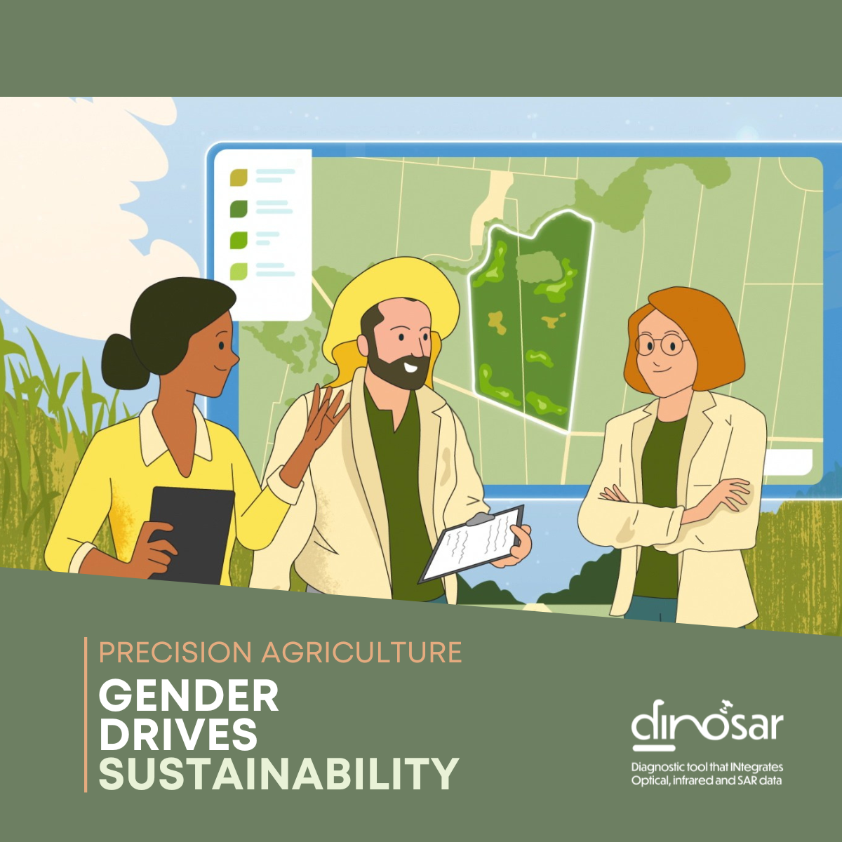
[Gender & Agriculture] Voices of change: Women driving agricultural innovation in Colombia (2/2)
As digital technologies continue to reshape agriculture, women professionals are playing an increasingly important role in bridging innovation with the realities of the field. In Colombia’s sugarcane sector, remote sensing,... View Article
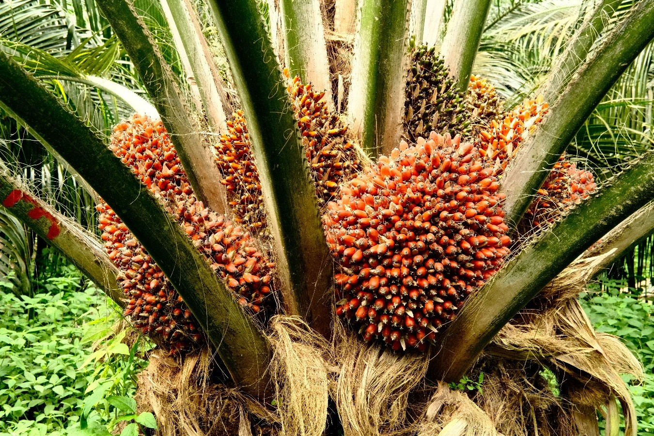
DINOSAR roadmap: Oil palm in Colombia, moving from visual assessment to objective crop monitoring
One of the objectives of the DINOSAR project is to develop a generic methodology that enables research findings to be extended to other crops and geographical areas, whilst establishing a... View Article