eLEAF
eLEAF has more than 20 years track record in providing satellite-based data and services to optimise agricultural production, support sustainable water management, and to assess climate risk and provide crop index insurance solutions.
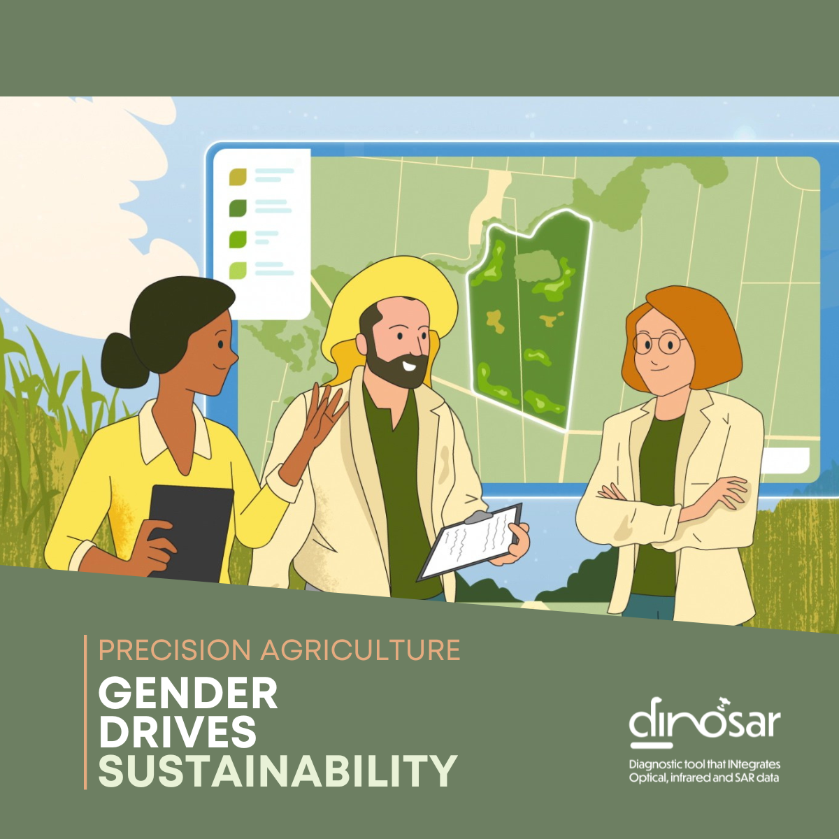
[Gender & Agriculture] Voices of change: Women driving agricultural innovation in Colombia (2/2)
As digital technologies continue to reshape agriculture, women professionals are playing an increasingly important role in bridging innovation with the realities of the field. In Colombia’s sugarcane sector, remote sensing,... View Article
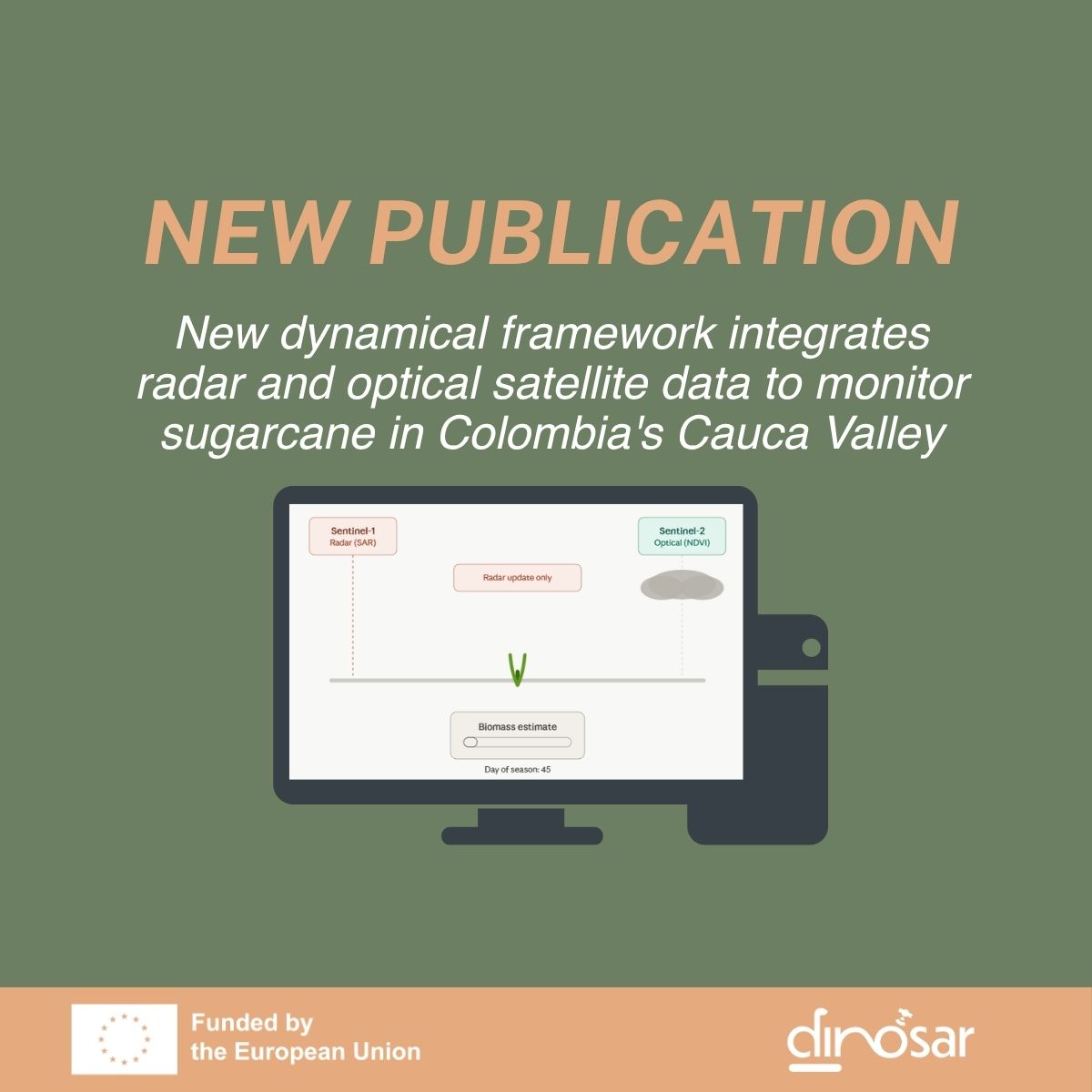
New dynamical framework integrates radar and optical satellite data to monitor sugarcane in Colombia’s Cauca Valley
DINOSAR is proud to announce the publication of its first scientific paper, led by the University of Alicante, with support from eLEAF, SarVision, and AgroAp. Published in the IEEE Journal... View Article
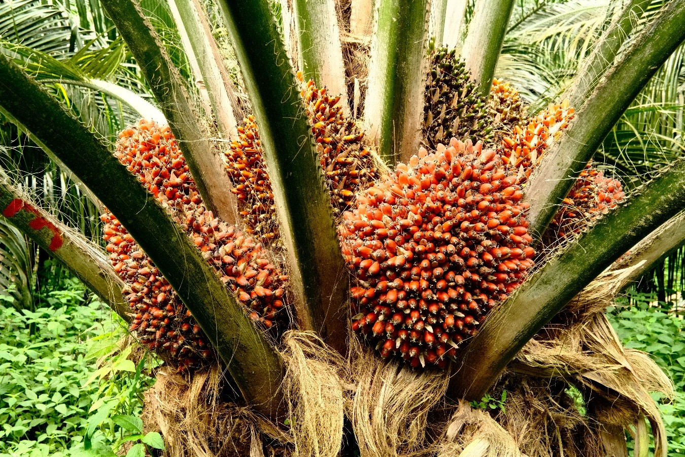
DINOSAR roadmap: Oil palm in Colombia, moving from visual assessment to objective crop monitoring
One of the objectives of the DINOSAR project is to develop a generic methodology that enables research findings to be extended to other crops and geographical areas, whilst establishing a... View Article